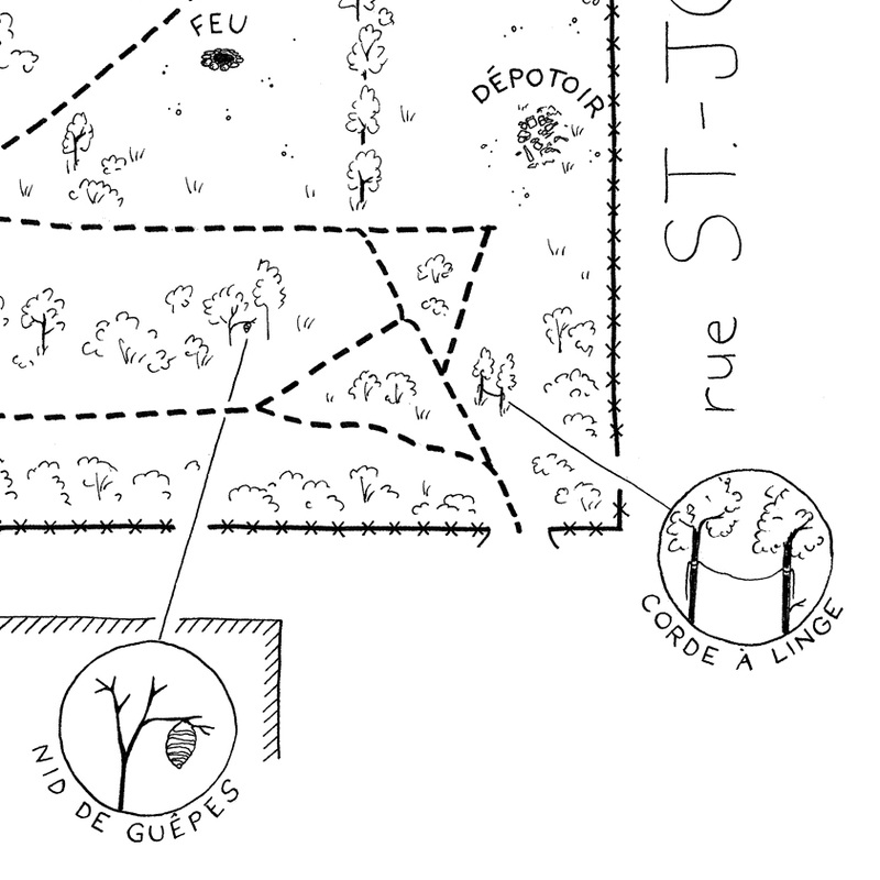
Witten by Peter Graham
Peter Graham and his family have been creating a naturalized yard at their suburban home in Pointe Claire over the past 17 years. Now, the City has decreed that it must be destroyed. Peter has launched a petition and publishes updates on his blog, www.lawnborg.com.
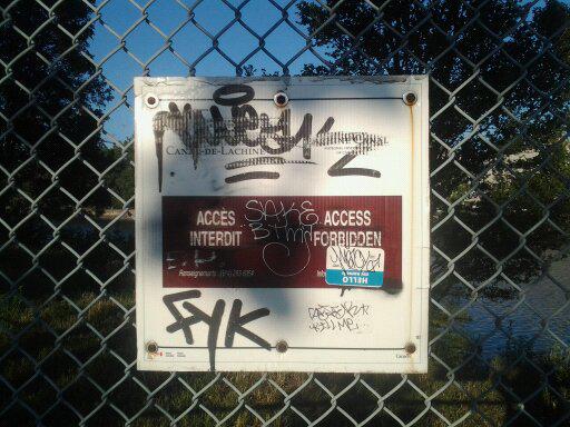
Try to think of an urban environment that does not actively prescribe what bodies can and cannot do. Pedestrians must learn to read the signs to know when they can walk and when they cannot. Modern architecture smoothens human experience, creating a world with fewer legitimate behavioural options. Even children’s playgrounds socialize our youth to understand that swings are for swinging, slides for sliding. Much of our early educational experience is focused on learning how to read and comply with the exigencies of particular material environments. Like Harry Potter’s ability to speak parseltongue, the material environment teaches us to speak and understand a language without any awareness or our fluency. Classrooms mean eyes to the front and pay attention. Modern landscapes may not be prisons, but they are clearly on the spectrum.
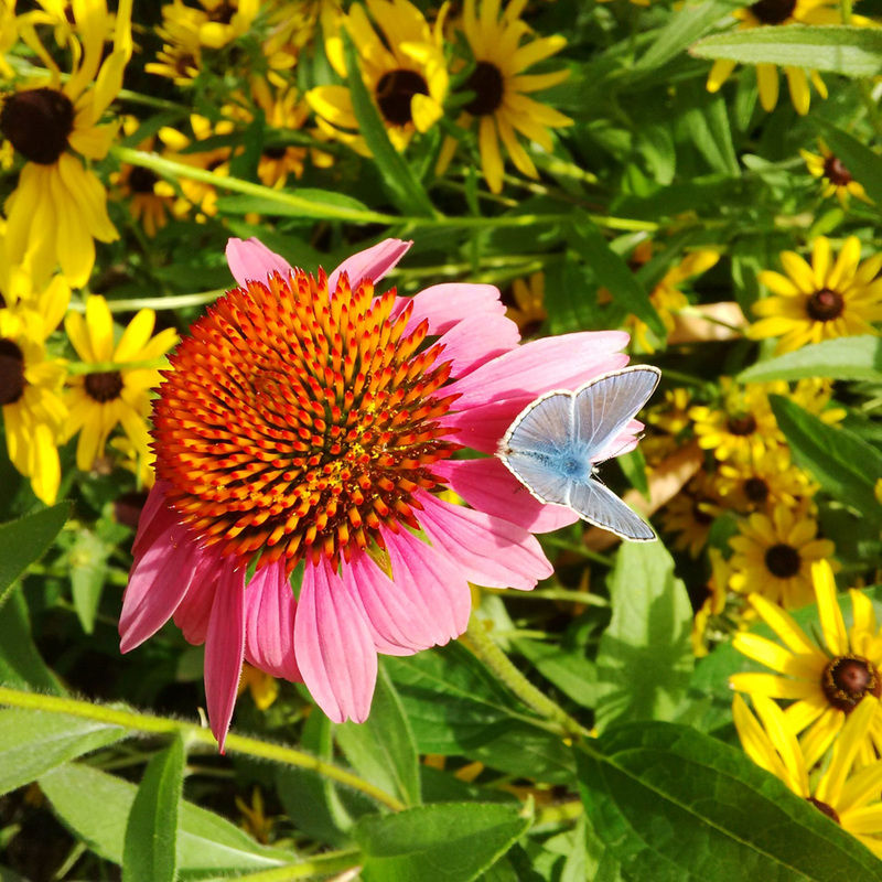
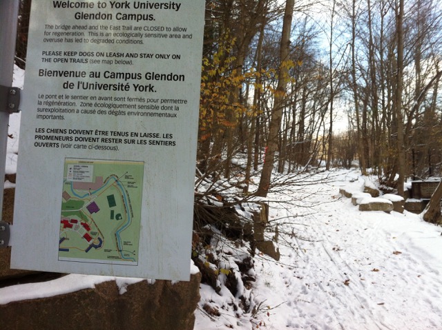
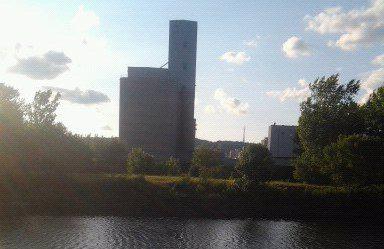
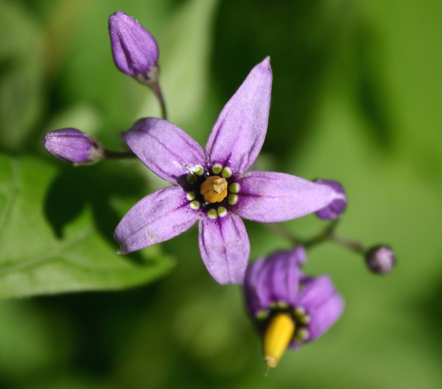
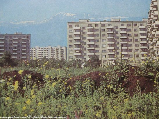
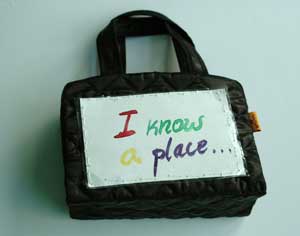
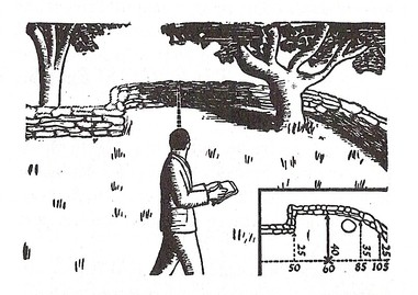
Photo by Peter Graham
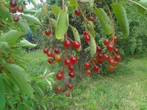
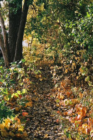
Wild spaces are full of surprise and dynamism. The obvious floral change and transformation from the first crocus of spring, to the kaleidoscopic cacophony of summer and fall colours, to the first blanket of snow in late fall actually continues in other faunal forms throughout the winter as various animals become engaged with different food sources through the season. The male cardinals’ knocking ironweed seeds onto the snow for their mates seems to result in more ironweed the following summer. When redpolls visit the seed heads of thistles or black-eyed Susans in winter, they always bring grey birch seedlings with them for the spring. This rhythmic and evolving process contrasts markedly with the modern ideal of changeless landscapes seemingly composed as postcard images, but not necessarily to be lived in. Even normal weathering is problematized in the modern capitalist social imagination. No matter. More extreme weather simply means more sales of roof shingles, air conditioners, and plane tickets to friendlier climes. And it means more slavish devotion to behavioural coda we are neither fully aware of nor fully able to consciously understand.
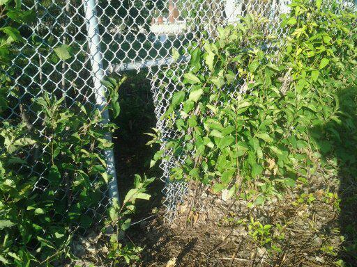
Bodies move differently in wild spaces. But brambles or stinging nettles are suggestive of how to move your body in a different way than the way a television set invites you to pay attention. Wild spaces put your senses and synapses to work in a way that is qualitatively different from simply following the orders being barked at you from a mowed lawn, sidewalk, or shopping mall. Wild spaces welcome you like a family reunion in the country in an era when family members could not always be counted on fingers and toes. Grandparents, cousins, aunts, uncles, nephews and nieces are everywhere, some familiar and some you will be meeting for the first time. Time spent in wild spaces always leaves me feeling connected to something bigger than myself, but bigger in a familial, partnering sense, not the oppressive sense of an overwhelming authority that can be neither challenged nor overcome.
Bodies move differently in wild spaces. But brambles or stinging nettles are suggestive of how to move your body in a different way than the way a television set invites you to pay attention. Wild spaces put your senses and synapses to work in a way that is qualitatively different from simply following the orders being barked at you from a mowed lawn, sidewalk, or shopping mall. Wild spaces welcome you like a family reunion in the country in an era when family members could not always be counted on fingers and toes. Grandparents, cousins, aunts, uncles, nephews and nieces are everywhere, some familiar and some you will be meeting for the first time. Time spent in wild spaces always leaves me feeling connected to something bigger than myself, but bigger in a familial, partnering sense, not the oppressive sense of an overwhelming authority that can be neither challenged nor overcome.
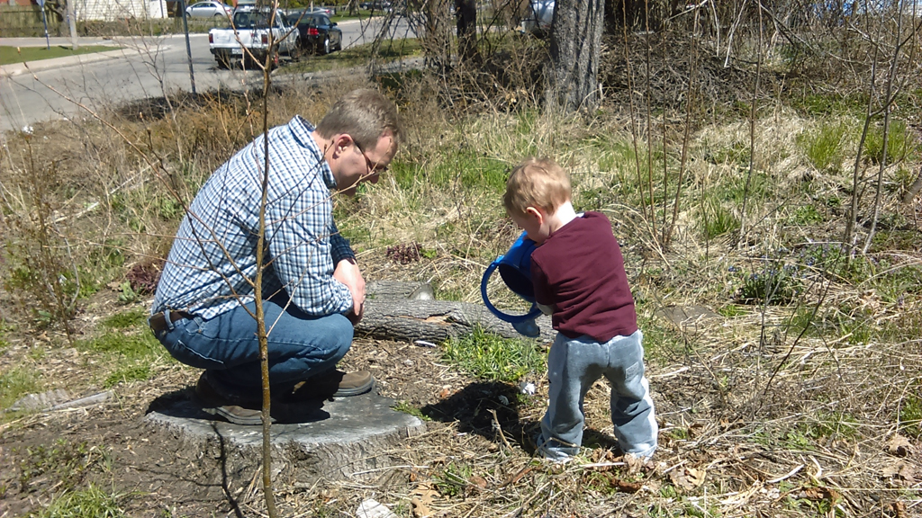
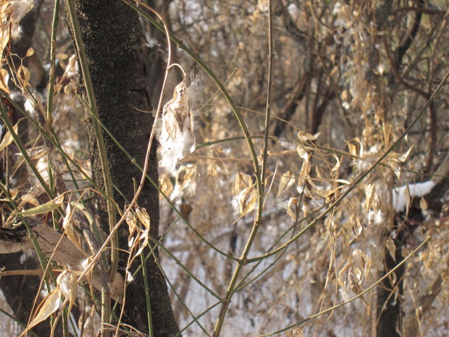
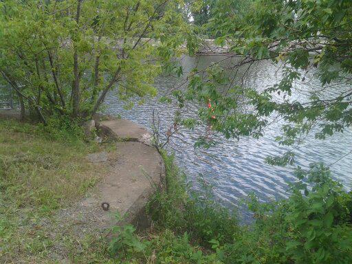
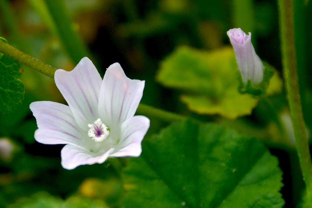
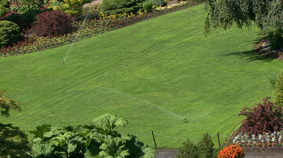
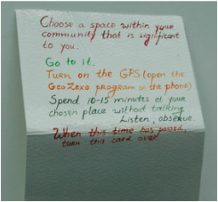
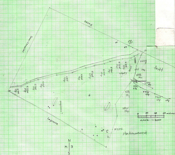
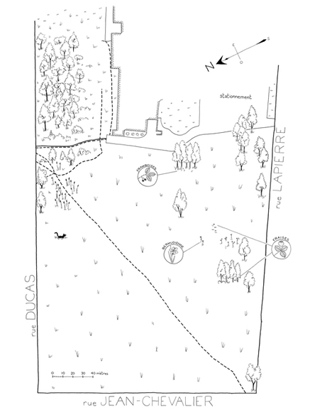
Photo by Shirley
I have no doubt that researchers will soon expand Richard Louv’s term, ‘Nature Deficit Disorder’ into a well-defined syndrome of psychological disorder. The origin of the pathology will be located in the oppressive but normalized man-made habitats that dictate the peculiar ways we can and cannot dwell in those spaces. I will close this reflection with words from Richard Louv (2012). The Nature Principle: Reconnecting with Life in Virtual Age:
Several years ago, while researching Last Child in the Woods, I visited Southwood Elementary, the grade school I attended when I was a boy growing up in Raytown, Missouri. There, I asked a classroom of children about their relationship with nature. Many of them offered the now-typical response: they preferred playing video games; they favoured indoor activities – and when they were outside, they played soccer or some other adult-organized sport. But one fifth-grader, described by her teacher as “our little poet,” wearing a plain print dress and an intensely serious expression, said, “when I’m in the woods, I feel like I’m in my mother’s shoes.” To her, nature represented beauty, refuge, and something else. “It’s so peaceful out there and the air smells so good. For me, it’s completely different there,” she said. “It’s your own time. Sometimes I go there when I’m mad – and then, just with the peacefulness, I’m better. I can come back home happy, and my mom doesn’t even know why.” She paused. “I had a place. There was a big waterfall and creek on one side of it. I’d dug a big hole there, and sometimes I’d take a tent back there, or a blanket, and just lay down in the hole and look up at the trees and sky. Sometimes I’d fall asleep back there. I just felt free; it was like my place, and I could do what I wanted, with nobody to stop me. I used to go down there almost every day.” The young poet’s face flushed. Her voice thickened. “And then they just cut the woods down. It was like they cut down part of me.” (1)
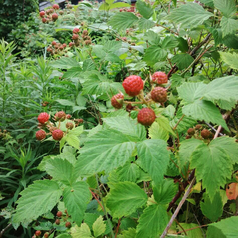
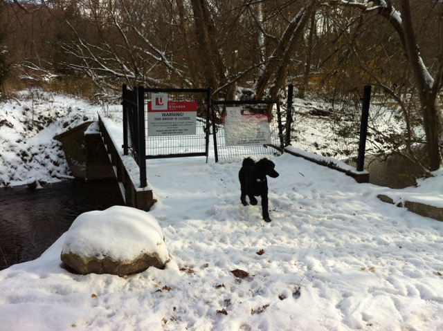
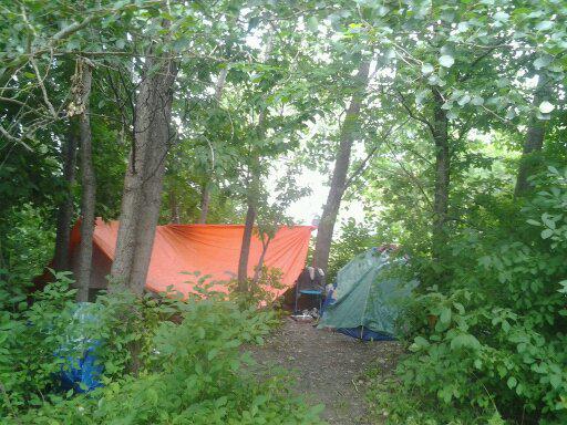
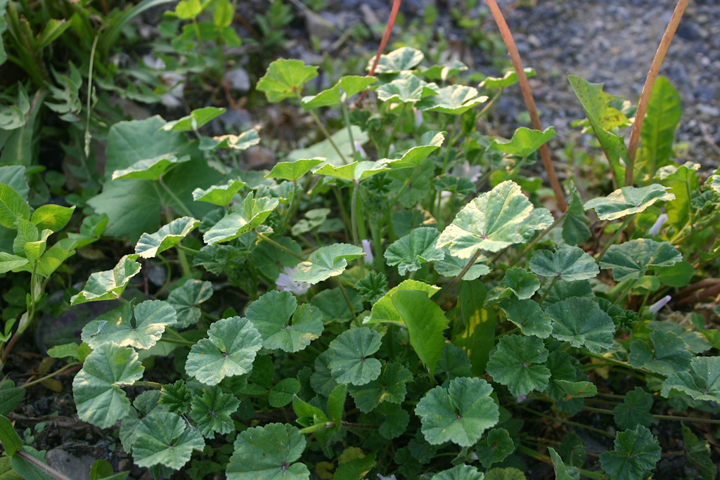
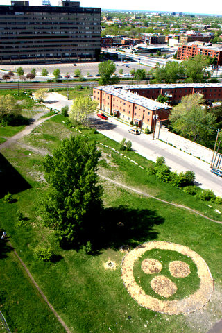
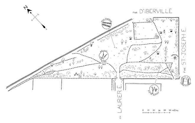
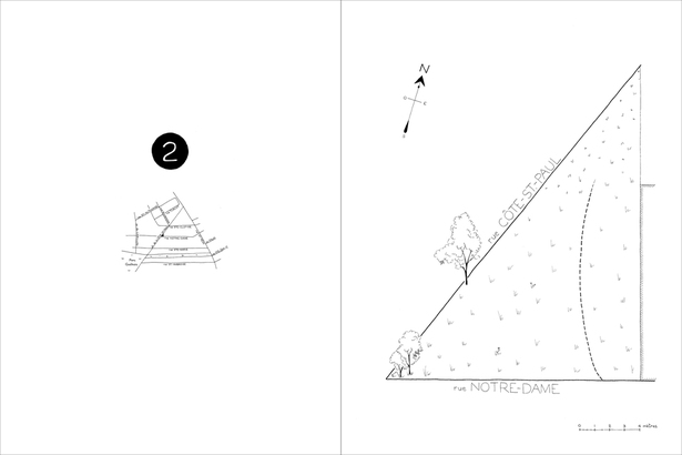
Photo by Peter Graham
Our society must do more than talk about the importance of nature; it must ensure that people in every kind of neighbourhood have everyday access to natural spaces, places, and experiences. To make that happen, this truth must become self-evident: We can truly care for nature and ourselves only if we see ourselves and nature as inseparable, only if we love ourselves as part of nature, only if we believe that human beings have a right to the gifts of nature.
The little girl in Raytown may not have a specific right to that particular tree in her chosen woods, but she does have the inalienable right to be with other life; to liberty, which cannot be realized under protective house arrest; and to the pursuit of happiness, which is made whole by the natural world.
So do you. (2)
My garden and I grow together. I bring some seeds of asters, cup plant, and fox sedges. The garden brings goldfinches and chickadees. I am the garden and the garden is me.
(1) Louv, Richard. The Nature Principle: Reconnecting with Life in Virtual Age. Chapel Hill, N.C: Algonquin Books, 2012. p. 266-7.
(2) Louv, Richard. The Nature Principle: Reconnecting with Life in Virtual Age. Chapel Hill, N.C: Algonquin Books, 2012. p. 269.
(2) Louv, Richard. The Nature Principle: Reconnecting with Life in Virtual Age. Chapel Hill, N.C: Algonquin Books, 2012. p. 269.


 RSS Feed
